Video lessons on SaniHUB Branch

SaniHUB Branch is free software designed to assist in the layout and development of household sewer connection projects, offering tools for both condominial and conventional systems. The plug-in allows project development based on field-collected information using a form developed for the QField application, with final processing carried out in the QGIS environment.
The software was funded by the Inter-American Development Bank (IDB), with support from the Spanish Agency for International Development Cooperation (AECID) and the European Union (EU), with the goal of promoting free access to modern tools for sewer system design and for developing strategies to ensure sanitation services in informal settlements. This was made possible through resources from the Spanish Cooperation Fund for Water and Sanitation in Latin America and the Caribbean (FECASACL).
Some of the advantages that SaniHUB Ramal offers are:
Development of household sewer connection projects in a 100% digital manner, with all elements georeferenced;
Field surveys using mobile devices with the QField application, without the need for an internet connection;
Provision of project plans and calculation spreadsheets for the execution of works;
Provision of a digital technical registry with updates on modifications made during the construction;
Identification of residences and data for communication with the commercial systems of companies.
In the download section, you can download the latest version of the plugin and also access the complete manual for the latest version.
The manual, or user guide, provides a step-by-step description, from project creation in the QGIS environment, procedures for field data collection using the QField application, importing and exporting information, designing condominium or individual sewer connections, to generating the calculation sheet and technical plans for project execution. The manual is initially available in Portuguese, with versions in Spanish and English to follow.
The video tutorials currently available are for version 1.0 of SaniHUB Branchl, where the three stages for project development using QGIS and the QField application are presented.
All version 1.0 video tutorials are initially in Portuguese, but English and Spanish subtitles will be added.
Meet the instructors

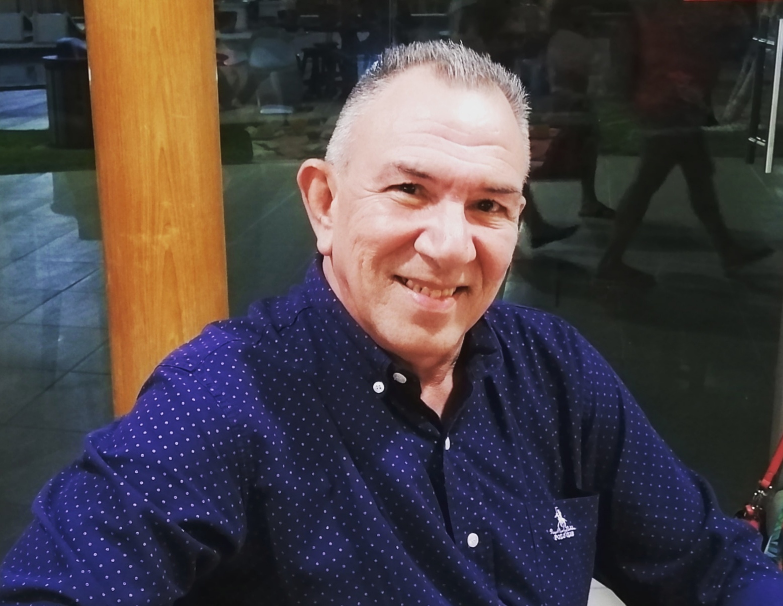
Civil Engineer and Expert in Forensics, Management, and Auditing with 20 years of technical experience in management, planning, and projects related to conventional and condominium sanitation methods for water and sewage systems.
The field surveys were carried out by the technical team of the Sewer Expansion Management – MPEX – Operations Directorate of RMS of EMBASA - Bahian Water and Sanitation Company. The team was composed of Rosevaldo Barbosa dos Santos, Janaina Maria Santana Monteiro, and Caio dos Santos under the coordination of engineer Alessandra Keiko Nakagawa.

Civil Engineer and sanitation specialist, with an emphasis on Planning of Sanitation Programs. Senior sanitation consultant for the IDB - Inter-American Development Bank for Latin America and the Caribbean, and for the World Bank in projects under the CWIS - Citywide Inclusive Sanitation.
He has worked for the past 40 years in the development of projects, execution of works, and monitoring of operation and maintenance, using the methodology of condominial sewerage systems in cities of Latin America, the Caribbean, and Africa.


